|
11 days
3352 km / 2095 miles

|
Because of a business trip to Japan, we
couldn't take our motorcycle trip at our usual time of
year. Jayne had suggested touring Northern California -
the parts we hadn't already seen - and Southwest Oregon,
which we knew nothing about. We were very worried about
the weather this late in September, but it worked out
surprisingly well. It's just very important to be
flexible in your planning while you are on the road.
So it was past mid Septemer 2019 when Jayne
and I started on our northern California motorcycle
trip.
This trips didn't really have many highlights in terms
of planned points to see. It rather was a trip to
experience and ride the northern Californian landscape
and ride the mostly winding roads over hills and
through valleys. We didn't have a planned route either,
so we looked at the map each night and picked a road
that looked jagged and therefore likely to be curvy.
We rode from Portland, Oregon south to Grants Pass,
Oregon on Interstate 5, in the pouring rain. It made a
miserable day of interstate riding even worse. After a
morning rain it cleared up the next day and stayed dry
for the rest of the trip. We had some cold nights on the
mountains and some hot days in the valleys. A little bit
of everything, just how we like it.
Images on the left show our entire
route (upper image) and our route
in
northern California (lower image).
|

|
The best time for such a trip is
probably not late September, but we were lmostly lucky
with the weather. Late spring and early fall are usually
the best times.
The road conditions are generally good. Some of
the small side rods were pot holed, but it wasn't too
bad.
In terms of safety wild animals and wildfires
are probably the greatest thread (besides other
drivers). Not only bears can be dangerous, but mountain
lions and even racoons can be dangerous. We always
left our food in locked aluminum
panniers when camping. In regards to wildfires it
is advisable to ask at ranger stations about current
conditions and expected fire direction. There are also
many phone apps out there to show wildfires, but cell
coverage in the middle of nowhere is spotty at best.
Some people in the remote areas want to stay away from
other people and may be armed. If you respect "No
Tresspassing" signs you should be OK. |
 |
The night before we left we
last-minute booked a Camping
Yurt just past Grants Pass, OR for our
first night, as the forecast showed pouring rain
all day and night. We had always wanted to stay
in a Yurt, so this was a good option for not
getting the tent wet the first night out.
The Yurt was
surprisingly big, comfy and the electric
heater kept it nice and warm.
|

|
|
 |
| From Ashland, OR we took the State Road 66
east, which is a very nice, winding mountain
road. It had stopped raining which made the ride
even more pleasant. |

|
|

|
In Keno we took Hwy
97 south. It threatened to rain and it
rained all around us but only hit us for a few
minutes.
I had wanted to
see Mt. Shasta from Weeds,
but it was hidden behind low clouds.
|

|
|

|
We continued east and then south
on state road 89, which is the Volcanic
Lagacy
Scenic Byway.
We stopped to
see the McArthur
Burney Falls.
It's a state park, but they charged only for
one vehicle. We would have turned around
otherwise.
|

|
|
|
|
Motorcycle
aluminum
panniers and top cases
Made by an experienced
motorcycle traveller.
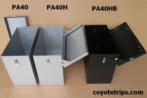
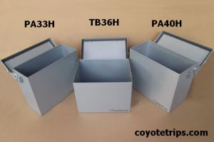

Panniers available in 47l, 40l and 33l
Top boxs available in 20l and 36l
Silver/Grey or Black
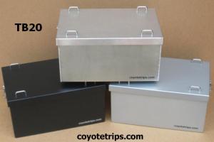
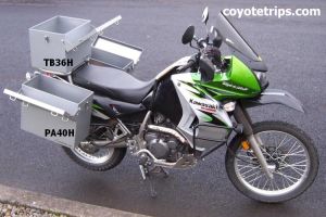
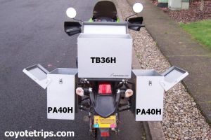
Quality is essential,
not only on a RTW tour.
|
|

